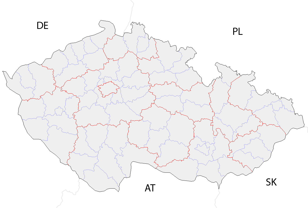
Size of this preview: 800 × 540 pixels. Other resolutions: 320 × 216 pixels | 640 × 432 pixels | 1,024 × 692 pixels | 1,300 × 878 pixels.
Original file (1,300 × 878 pixels, file size: 42 KB, MIME type: image/png)
| This is a file from the Wikimedia Commons. Information from its description page there is shown below. Commons is a freely licensed media file repository. You can help. |
Summary
| Description | Map of the districts of the Czech Republic showing former district borders before December 31, 2006. Created by Rarelibra 18:42, 29 December 2006 (UTC) for public domain use, using MapInfo Professional v8.5 and various mapping resources. |
| Date | 29 December 2006 (original upload date) |
| Source | No machine-readable source provided. Own work assumed (based on copyright claims). |
| Author | No machine-readable author provided. Rarelibra assumed (based on copyright claims). |
Licensing
| I, the copyright holder of this work, release this work into the public domain. This applies worldwide. In some countries this may not be legally possible; if so: I grant anyone the right to use this work for any purpose, without any conditions, unless such conditions are required by law. |
File history
Click on a date/time to view the file as it appeared at that time.
| Date/Time | Thumbnail | Dimensions | User | Comment | |
|---|---|---|---|---|---|
| current | 10:14, 2 October 2008 | | 1,300 × 878 (42 KB) | Happenstance | rv myself |
| 10:05, 2 October 2008 |  | 1,300 × 878 (42 KB) | Happenstance | lightening country codes | |
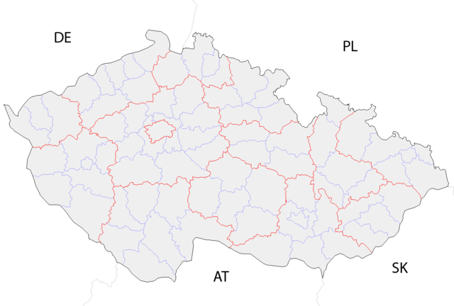
| 10:02, 2 October 2008 |  | 1,300 × 878 (42 KB) | Happenstance | added transparency, foreign borders and country codes, separated borders between okresy and borders between kraje | |
| 18:42, 29 December 2006 |  | 1,281 × 878 (30 KB) | Rarelibra | Map of the districts of the Czech Republic. Created by ~~~~ for public domain use, using MapInfo Professional v8.5 and various mapping resources. |
File usage
The following pages on the English Wikipedia use this file (pages on other projects are not listed):
Global file usage
The following other wikis use this file:
- Usage on br.wiki.x.io
- Usage on da.wiki.x.io
- Usage on eo.wiki.x.io
- Usage on es.wiki.x.io
- Usage on fa.wiki.x.io
- Usage on gl.wiki.x.io
- Usage on hu.wiki.x.io
- Usage on it.wiki.x.io
- Usage on ko.wiki.x.io
- Usage on la.wiki.x.io
- Usage on lmo.wiki.x.io
- Usage on ms.wiki.x.io
- Usage on nl.wiki.x.io
- Usage on or.wiki.x.io
- Usage on pa.wiki.x.io
- Usage on pl.wiki.x.io
- Usage on pnb.wiki.x.io
- Usage on pt.wiki.x.io
- Usage on ro.wiki.x.io
- Usage on sh.wiki.x.io
- Usage on sq.wiki.x.io
- Usage on sv.wiki.x.io
- Usage on tr.wiki.x.io
- Usage on uk.wiki.x.io
- Usage on ur.wiki.x.io
- Usage on vi.wiki.x.io
- Usage on zh.wiki.x.io