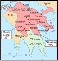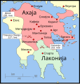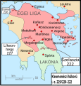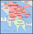
Size of this PNG preview of this SVG file: 343 × 360 pixels. Other resolutions: 229 × 240 pixels | 457 × 480 pixels | 732 × 768 pixels | 976 × 1,024 pixels | 1,951 × 2,048 pixels.
Original file (SVG file, nominally 343 × 360 pixels, file size: 931 KB)
File history
Click on a date/time to view the file as it appeared at that time.
| Date/Time | Thumbnail | Dimensions | User | Comment | |
|---|---|---|---|---|---|
| current | 04:35, 12 January 2010 | 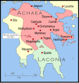 | 343 × 360 (931 KB) | MapMaster | Added a few more cities and some clean-up |
| 05:46, 11 January 2010 |  | 343 × 360 (911 KB) | MapMaster | Changed town names to paths to properly render them | |
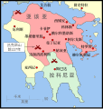
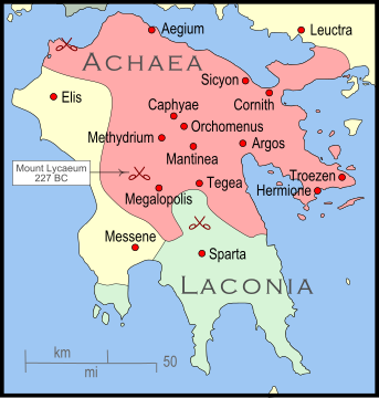
| 05:38, 11 January 2010 |  | 343 × 360 (825 KB) | MapMaster | {{Information |Description={{en|1=The Peleponnese (southernmost Greece) showing the larger powers and leagues at the time of the Cleomenean War (ca. 227 BC). The area in red shows the Achaean League.}} |Source={{own}} |Author=MapMaster |
File usage
The following 3 pages use this file:
Global file usage
The following other wikis use this file:
- Usage on bg.wiki.x.io
- Usage on fr.wiki.x.io
- Usage on id.wiki.x.io
- Usage on ja.wiki.x.io
- Usage on nl.wiki.x.io
- Usage on vi.wiki.x.io

