File:Charte des Nordöstlichen Theils von Sibirien des Eismeers des Ostoceans und der Nordwestlichen Küste von America.jpeg

Original file (3,157 × 1,666 pixels, file size: 1 MB, MIME type: image/jpeg)
| This is a file from the Wikimedia Commons. Information from its description page there is shown below. Commons is a freely licensed media file repository. You can help. |
Summary
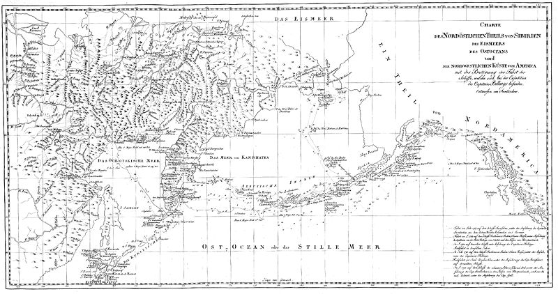
Charte des Nordöstlichen Theils von Sibirien des Eismeers des Ostoceans und der Nordwestlichen Küste von America mit der Bestimmung der Fahrt der Schiffe, welche sich bei der Expedition des Capitains Billings befanden, in: Gawrila Sarytschew’s Russisch-Kaiserlichen Generalmajors von der Flotte achtjährige Reise im nordöstlichen Sibirien, auf dem Eismeere und dem nordöstlichen Ozean [Tafelband], Leipzig 1806
- Quelle: Digitalisat der Niedersächsischen Staats- und Universitätsbibliothek Göttingen
- Persistant URL: http://www-gdz.sub.uni-goettingen.de/cgi-bin/digbib.cgi?PPN33133979X_Tafeln
Licensing
|
This work is in the public domain in its country of origin and other countries and areas where the copyright term is the author's life plus 70 years or fewer. | |
| This file has been identified as being free of known restrictions under copyright law, including all related and neighboring rights. | |
File history
Click on a date/time to view the file as it appeared at that time.
| Date/Time | Thumbnail | Dimensions | User | Comment | |
|---|---|---|---|---|---|
| current | 10:26, 11 July 2007 | | 3,157 × 1,666 (1 MB) | Frank Schulenburg | ''Charte des Nordöstlichen Theils von Sibirien des Eismeers des Ostoceans und der Nordwestlichen Küste von America mit der Bestimmung der Fahrt der Schiffe, welche sich bei der Expedition des Capitains Billings befanden'', in: Gawrila Sarytschew’s Rus |
File usage
Global file usage
The following other wikis use this file:
- Usage on de.wiki.x.io
- Usage on it.wiki.x.io
- Usage on ru.wiki.x.io