Size of this preview: 800 × 501 pixels. Other resolutions: 320 × 201 pixels | 640 × 401 pixels | 975 × 611 pixels.
Original file (975 × 611 pixels, file size: 2 KB, MIME type: image/png)
| This is a file from the Wikimedia Commons. Information from its description page there is shown below. Commons is a freely licensed media file repository. You can help. |
Summary
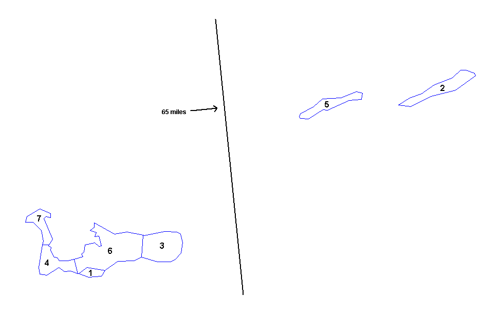
| Description | Map of the districts of the Cayman Islands. Created by Rarelibra 18:20, 31 March 2006 (UTC) for public domain use. Created using MapInfo Professional v7.5 and various mapping resources. |
| Date | 25 November 2006 (original upload date) |
| Source | No machine-readable source provided. Own work assumed (based on copyright claims). |
| Author | No machine-readable author provided. Electionworld assumed (based on copyright claims). |
Licensing
| I, the copyright holder of this work, release this work into the public domain. This applies worldwide. In some countries this may not be legally possible; if so: I grant anyone the right to use this work for any purpose, without any conditions, unless such conditions are required by law. |
File history
Click on a date/time to view the file as it appeared at that time.
| Date/Time | Thumbnail | Dimensions | User | Comment | |
|---|---|---|---|---|---|
| current | 21:19, 22 March 2015 | | 975 × 611 (2 KB) | Ras67 | cropped, -bg, -opt. |
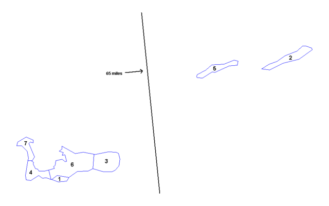
| 22:04, 25 November 2006 |  | 1,025 × 624 (7 KB) | Electionworld | == Summary == Map of the districts of the Cayman Islands. Created by Rarelibra 18:20, 31 March 2006 (UTC) for public domain use. Created using MapInfo Professional v7.5 and various mapping resources. == Licensing == {{PD-self}} [[Catego |
File usage
The following pages on the English Wikipedia use this file (pages on other projects are not listed):
Global file usage
The following other wikis use this file:
- Usage on eu.wiki.x.io
- Usage on frr.wiki.x.io
- Usage on hu.wiki.x.io
- Usage on ja.wiki.x.io
- Usage on tr.wiki.x.io