
Size of this PNG preview of this SVG file: 538 × 401 pixels. Other resolutions: 320 × 239 pixels | 640 × 477 pixels | 1,024 × 763 pixels | 1,280 × 954 pixels | 2,560 × 1,908 pixels.
Original file (SVG file, nominally 538 × 401 pixels, file size: 315 KB)
| This is a file from the Wikimedia Commons. Information from its description page there is shown below. Commons is a freely licensed media file repository. You can help. |
Summary
| Description |
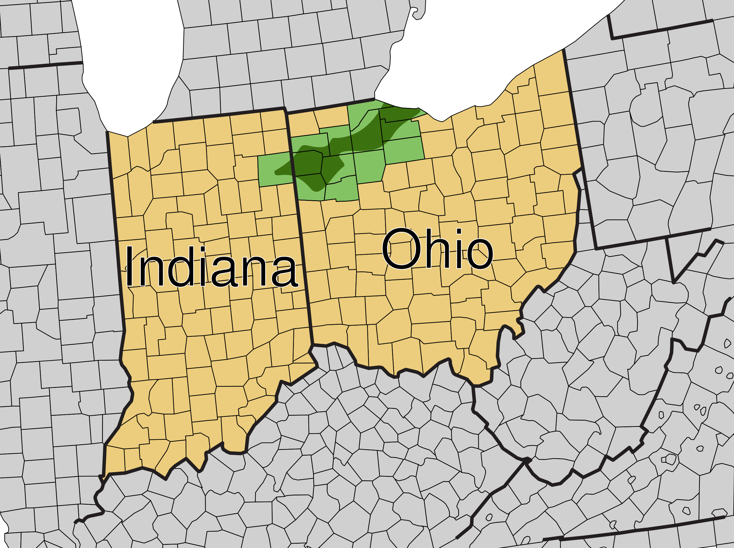
English: Map of Indiana and Ohio showing location of Black Swamp
Historic boundries of the Black swamp |
| Date | |
| Source |
This file was derived from: USA Counties with FIPS and names.svg |
| Author | Derfel73; Mr. Matté |
| SVG development |
Licensing
| I, the copyright holder of this work, release this work into the public domain. This applies worldwide. In some countries this may not be legally possible; if so: I grant anyone the right to use this work for any purpose, without any conditions, unless such conditions are required by law. |
File history
Click on a date/time to view the file as it appeared at that time.
| Date/Time | Thumbnail | Dimensions | User | Comment | |
|---|---|---|---|---|---|
| current | 10:59, 23 October 2011 | | 538 × 401 (315 KB) | Derfel73 | Corrected text |
| 10:57, 23 October 2011 |  | 538 × 401 (308 KB) | Derfel73 | {{Information |Description ={{en|1=Map of Indiana and Ohio showing location of Black Swamp {{legend|#3c7110|Historic boundries of the Black swamp}}}} |Source ={{Derived from|USA_Counties_with_FIPS_and_names.svg}} |Author =[[User:Derfel7 |
File usage
The following 2 pages use this file:
Global file usage
The following other wikis use this file:
- Usage on ar.wiki.x.io
- Usage on de.wiki.x.io
- Usage on fr.wiki.x.io
- Usage on ja.wiki.x.io
- Usage on pt.wiki.x.io