Size of this preview: 800 × 544 pixels. Other resolutions: 320 × 218 pixels | 640 × 435 pixels | 815 × 554 pixels.
Original file (815 × 554 pixels, file size: 193 KB, MIME type: image/jpeg)
| This is a file from the Wikimedia Commons. Information from its description page there is shown below. Commons is a freely licensed media file repository. You can help. |
| Description |
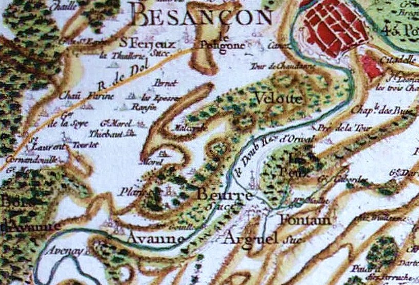
English: Cassini Map of Besançon-Planoise (1780).
Français : Carte de Cassini de Besançon-Planoise vers 1780. |
||||
| Date | |||||
| Source | Site de Cassini | ||||
| Author | Toufik-de-planoise | ||||
| Permission (Reusing this file) |
|
||||
File history
Click on a date/time to view the file as it appeared at that time.
| Date/Time | Thumbnail | Dimensions | User | Comment | |
|---|---|---|---|---|---|
| current | 00:18, 8 February 2010 | | 815 × 554 (193 KB) | Toufik-de-planoise | {{Information |Description={{en|1=Cassini Map of Besançon-Planoise (1780).}} {{fr|1=Carte de Cassini de Besançon-Planoise vers 1780.}} |Source=[http://cassini.ehess.fr/ Site de Cassini] |Author=Toufik-de-planoise |Date=2010-0 |
File usage
The following pages on the English Wikipedia use this file (pages on other projects are not listed):
Global file usage
The following other wikis use this file:
- Usage on ar.wiki.x.io
- Usage on fr.wiki.x.io
- Usage on sl.wiki.x.io
- Usage on zh.wiki.x.io