
Size of this preview: 705 × 600 pixels. Other resolutions: 282 × 240 pixels | 564 × 480 pixels | 903 × 768 pixels | 1,204 × 1,024 pixels | 1,340 × 1,140 pixels.
Original file (1,340 × 1,140 pixels, file size: 887 KB, MIME type: image/jpeg)
| This is a file from the Wikimedia Commons. Information from its description page there is shown below. Commons is a freely licensed media file repository. You can help. |
Summary
| Description |
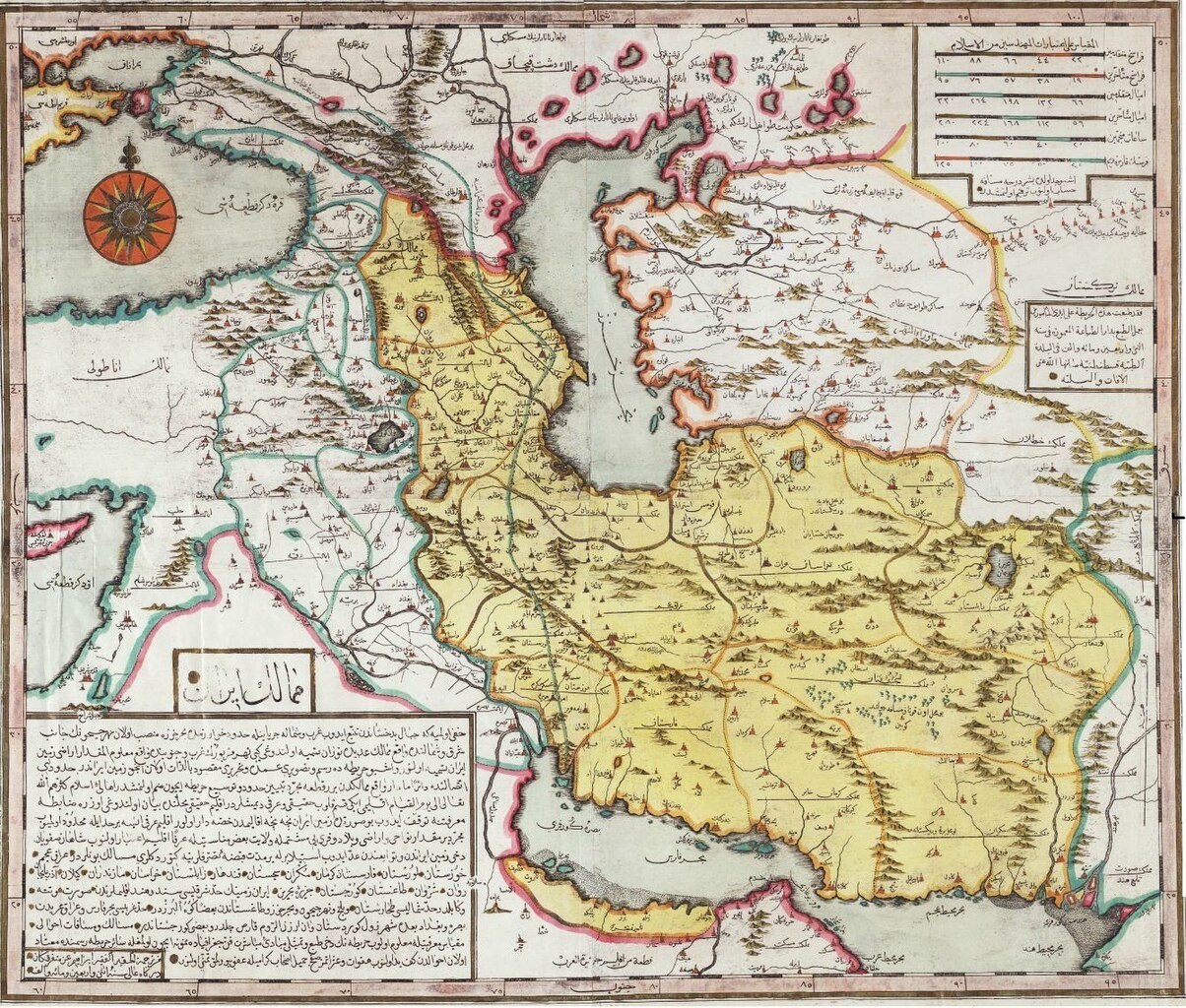
English: persian gulf in the othoman maps 1729 ibrahim motafareka turky Nederlands: map iran De Hongaar die de Arabische naam Ibrahim Müteferrika aannam, gaf in 1729 deze bijzondere kaart van het huidige Iran uit. De kaart werd uitgegeven in Constantinopel. UitgeverIbrahim Muteferrika (Constantinopel) فارسی: نقشهی ایرانِ اواخرِ دوران صفویان و پیرامونش از ابراهیم متفرقهی عثمانی |
| Date | |
| Source | http://parssea.org/?p=352 |
| Author | Ibrahim Motafareka Turky |
| Permission (Reusing this file) |
CCO [1] |
| Other versions |
 |
Licensing
|
This work is in the public domain in its country of origin and other countries and areas where the copyright term is the author's life plus 70 years or fewer. | |
| This file has been identified as being free of known restrictions under copyright law, including all related and neighboring rights. | |
File history
Click on a date/time to view the file as it appeared at that time.
| Date/Time | Thumbnail | Dimensions | User | Comment | |
|---|---|---|---|---|---|
| current | 11:59, 10 April 2013 | | 1,340 × 1,140 (887 KB) | Maahmaah | User created page with UploadWizard |
File usage
The following 4 pages use this file:
Global file usage
The following other wikis use this file:
- Usage on azb.wiki.x.io
- Usage on fa.wiki.x.io
- Usage on fa.wikibooks.org
- Usage on hi.wiki.x.io
- Usage on ja.wiki.x.io
- Usage on ko.wiki.x.io
- Usage on lij.wiki.x.io
- Usage on pnb.wiki.x.io
- Usage on ro.wiki.x.io
- Usage on ru.wiki.x.io
- Usage on ur.wiki.x.io