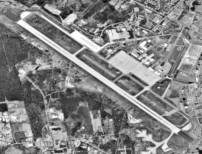
Bangor-International-Aerial.jpg (699 × 533 pixels, file size: 142 KB, MIME type: image/jpeg)
File history
Click on a date/time to view the file as it appeared at that time.
| Date/Time | Thumbnail | Dimensions | User | Comment | |
|---|---|---|---|---|---|
| current | 08:37, 27 October 2011 |  | 699 × 533 (142 KB) | OgreBot | (BOT): Uploading old version of file from en.wikipedia; originally uploaded on 2011-02-24 16:59:00 by Bwmoll3 |
| 08:37, 27 October 2011 |  | 699 × 533 (167 KB) | OgreBot | (BOT): Uploading old version of file from en.wikipedia; originally uploaded on 2005-06-17 23:45:00 by Carl Henderson | |
| 17:14, 16 October 2011 |  | 699 × 533 (142 KB) | File Upload Bot (Magnus Manske) | {{BotMoveToCommons|en.wikipedia|year={{subst:CURRENTYEAR}}|month={{subst:CURRENTMONTHNAME}}|day={{subst:CURRENTDAY}}}} {{Information |Description={{en|'''Source:''' U.S. Geological Survey '''Cite:''' Satellite images from USGS National Map Viewer (Longi |
File usage
The following 2 pages use this file:
Global file usage
The following other wikis use this file:
- Usage on de.wiki.x.io
- Usage on ru.wiki.x.io
- Usage on uk.wiki.x.io

