Size of this preview: 655 × 599 pixels. Other resolutions: 262 × 240 pixels | 525 × 480 pixels | 839 × 768 pixels | 1,119 × 1,024 pixels | 2,238 × 2,048 pixels | 2,967 × 2,715 pixels.
Original file (2,967 × 2,715 pixels, file size: 4.04 MB, MIME type: image/png)
File history
Click on a date/time to view the file as it appeared at that time.
| Date/Time | Thumbnail | Dimensions | User | Comment | |
|---|---|---|---|---|---|
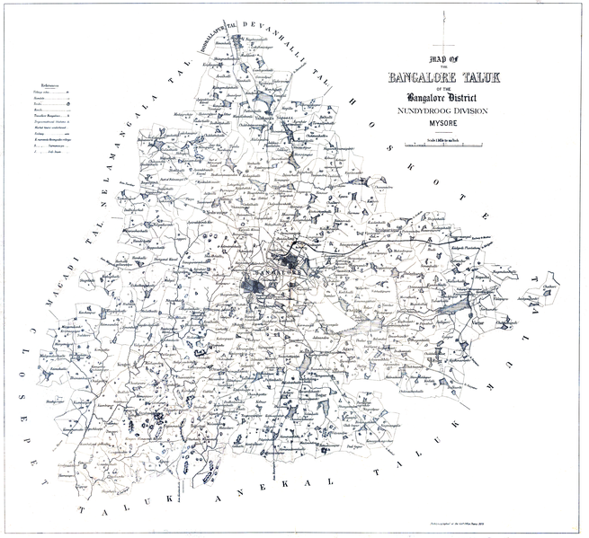
| current | 17:49, 1 July 2020 |  | 2,967 × 2,715 (4.04 MB) | Shyamal | {{Map |Description=Map of the Bangalore Taluk of the Bangalore District. Nundydroog Division. Photozincographed at the Government Office Poona 1878 |Source=Survey of India |Date=1878 |Author=Government of India |Permission={{pd-old-70}} |other_versions= }} Category:Maps of Bangalore |
File usage
The following 2 pages use this file: