
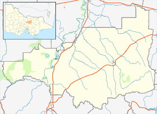
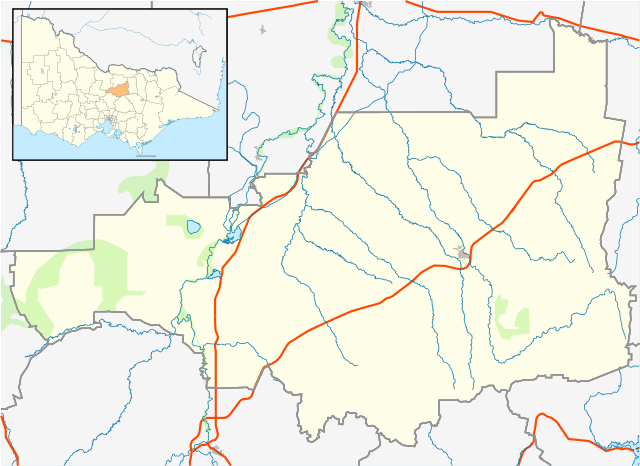
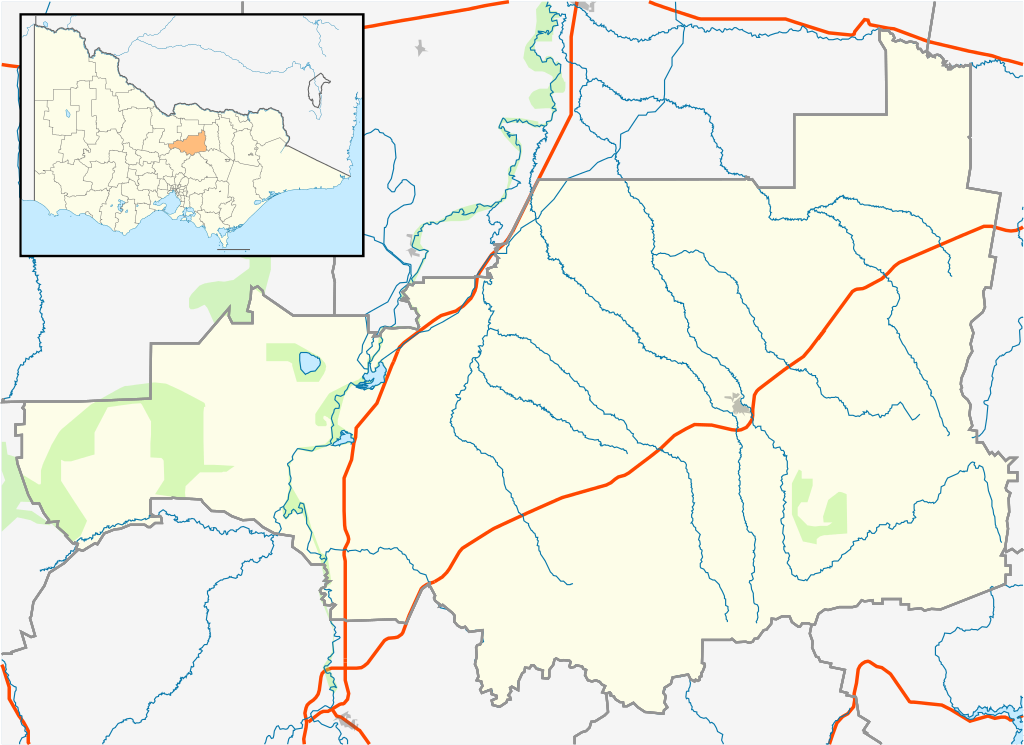
Size of this PNG preview of this SVG file: 533 × 388 pixels. Other resolutions: 320 × 233 pixels | 640 × 466 pixels | 1,024 × 745 pixels | 1,280 × 932 pixels | 2,560 × 1,864 pixels.
Original file (SVG file, nominally 533 × 388 pixels, file size: 536 KB)
| This is a file from the Wikimedia Commons. Information from its description page there is shown below. Commons is a freely licensed media file repository. You can help. |
| Description |
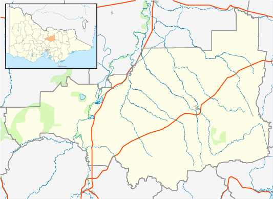
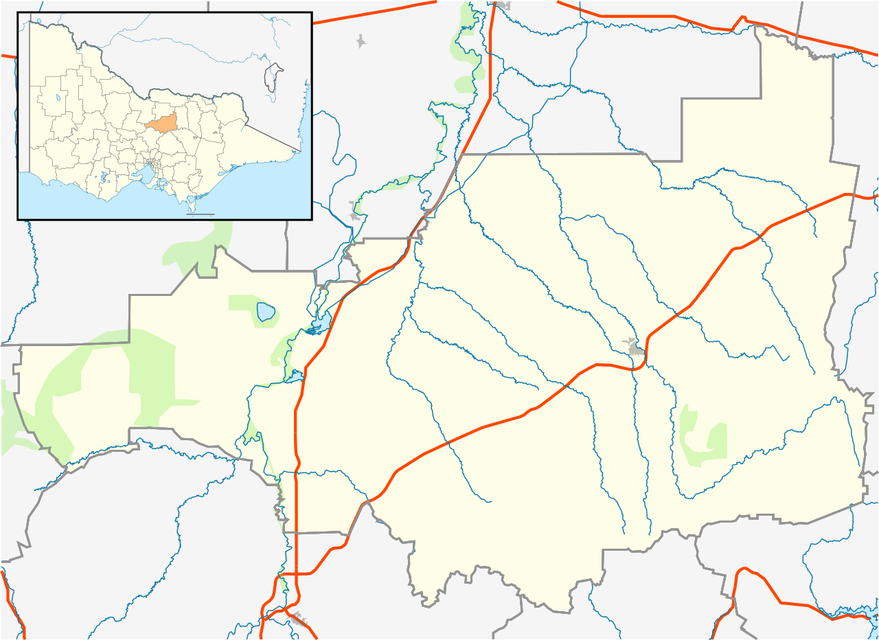
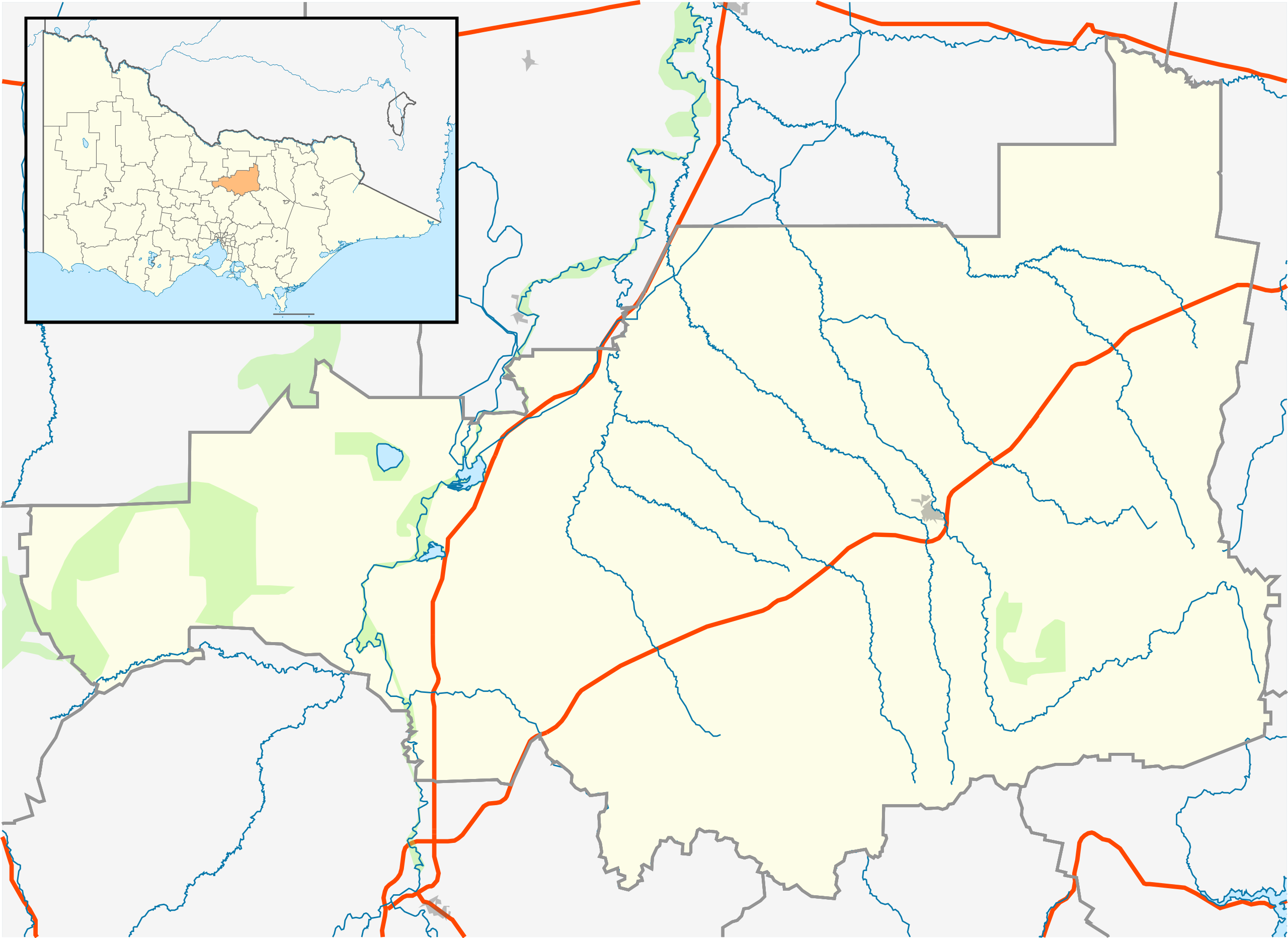
English: Blank map of w:Strathbogie Shire, Victoria, Australia, with the following information shown:
Geographic limits:
|
||
| Source | Own work + VicMap Lite | ||
| Author | Cassowary |

File history
Click on a date/time to view the file as it appeared at that time.
| Date/Time | Thumbnail | Dimensions | User | Comment | |
|---|---|---|---|---|---|
| current | 15:24, 18 February 2011 | | 533 × 388 (536 KB) | Cassowary | {{Information |Description ={{en|1=Blank map of w:Strathbogie Shire, Victoria, Australia, with the following information shown: * LGA boundaries * Coastline, lakes and rivers * Highways and freeways * Urban areas * Parks Geographic limits: * North |
File usage
The following pages on the English Wikipedia use this file (pages on other projects are not listed):
- Avenel, Victoria
- Baddaginnie, Victoria
- Euroa
- Graytown, Victoria
- Kirwans Bridge, Victoria
- Locksley, Victoria
- Longwood, Victoria
- Mangalore, Victoria
- Miepoll
- Mitchellstown
- Moorilim
- Mount Teneriffe
- Nagambie
- Ruffy, Victoria
- Shire of Strathbogie
- Strathbogie, Victoria
- Tabilk
- Upotipotpon, Victoria
- Violet Town
- Wahring, Victoria
- Whroo
- User:Diggers2004/sandbox
- User:ThylacineHunter/LGA
- User:Viatori/sandbox
- Template:Towns in Strathbogie Shire
- Module:Location map/data/Australia Victoria Shire of Strathbogie
- Module:Location map/data/Australia Victoria Shire of Strathbogie/doc
Global file usage
The following other wikis use this file:
- Usage on ar.wiki.x.io
- Usage on ceb.wiki.x.io
- Usage on fa.wiki.x.io
- Usage on kn.wiki.x.io
- Usage on simple.wiki.x.io
- Usage on si.wiki.x.io
- Usage on tr.wiki.x.io
- Usage on uz.wiki.x.io
- Usage on war.wiki.x.io