
Size of this preview: 800 × 550 pixels. Other resolutions: 320 × 220 pixels | 640 × 440 pixels | 1,024 × 703 pixels | 1,281 × 880 pixels.
Original file (1,281 × 880 pixels, file size: 93 KB, MIME type: image/png)
| This is a file from the Wikimedia Commons. Information from its description page there is shown below. Commons is a freely licensed media file repository. You can help. |
Summary
| Description |
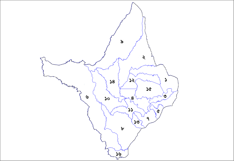
English: Map of the municipalities of the state of Amapa, Brazil. Created by Rarelibra 19:00, 24 August 2006 (UTC) for public domain use. Created using MapInfo Professional v8.5 and various mapping resources.
Updated by Gcoliveira 02:08, 16 November 2006 (UTC). Just changed the identifier of four municipalities, using Adobe Photoshop CS2. |
| Date | |
| Source | Own work by the original uploader |
| Author | Rarelibra (talk) (Uploads) |
Licensing
| This work has been released into the public domain by its author, Usingha. This applies worldwide. In some countries this may not be legally possible; if so: |
Original upload log
Transferred from bpy.wikipedia to Commons using For the Common Good.
The original description page was here. All following user names refer to bpy.wikipedia.
| Date/Time | Dimensions | User | Comment |
|---|---|---|---|
| 18:17, 17 June 2007 | 1,281 × 880 (95,458 bytes) | w:bpy:Usingha (talk | contribs) | == Summary == Map of the municipalities of the state of Amapa, Brazil. Created by [[en:User:Rarelibra|Rarelibra]] 19:00, 24 August 2006 (UTC) for public domain use. Created using MapInfo Professional v8.5 and various mapping resources. Updated by [[User: |
The original description page was here. All following user names refer to en.wikipedia.
| Date/Time | Dimensions | User | Comment |
|---|---|---|---|
| 02:06, 16 November 2006 | 1281 × 880 (26,691 bytes) | w:en:Gcoliveira (talk | contribs) | Map of the municipalities of the state of Amapa, Brazil. Created by Rarelibra in 19:00, 24 August 2006 (UTC) for public domain use. Created using MapInfo Professional v8.5 and various mapping resources. Updated by ~~~~. Just changed the identifiers of fou |
| 19:00, 24 August 2006 | 1281 × 880 (25,612 bytes) | w:en:Rarelibra (talk | contribs) | Map of the municipalities of the state of Amapa, Brazil. Created by ~~~~ for public domain use. Created using MapInfo Professional v8.5 and various mapping resources. |
File history
Click on a date/time to view the file as it appeared at that time.
| Date/Time | Thumbnail | Dimensions | User | Comment | |
|---|---|---|---|---|---|
| current | 02:57, 26 August 2016 | | 1,281 × 880 (93 KB) | OgreBot | (BOT): Reverting to most recent version before archival |
| 02:57, 26 August 2016 |  | 1,281 × 880 (26 KB) | OgreBot | (BOT): Uploading old version of file from en.wikipedia; originally uploaded on 2006-11-16 02:06:35 by Gcoliveira | |
| 02:57, 26 August 2016 |  | 1,281 × 880 (25 KB) | OgreBot | (BOT): Uploading old version of file from en.wikipedia; originally uploaded on 2006-08-24 19:00:13 by Rarelibra | |
| 04:49, 18 August 2016 |  | 1,281 × 880 (93 KB) | CommonSupporter | Transferred from bpy.wikipedia: see original upload log above |
File usage
The following 2 pages use this file:
Global file usage
The following other wikis use this file:
- Usage on ban.wiki.x.io
- Usage on bpy.wiki.x.io
- Usage on id.wiki.x.io