File:1852 Levasseur Map of the Department De La Meurthe, France - Geographicus - Meurthe-levasseur-1852.jpg

Size of this preview: 800 × 585 pixels. Other resolutions: 320 × 234 pixels | 640 × 468 pixels | 1,024 × 749 pixels | 1,280 × 937 pixels | 2,560 × 1,873 pixels | 3,500 × 2,561 pixels.
Original file (3,500 × 2,561 pixels, file size: 3.02 MB, MIME type: image/jpeg)
| This is a file from the Wikimedia Commons. Information from its description page there is shown below. Commons is a freely licensed media file repository. You can help. |
| Dept. de la Meurthe. | ||||||||||||||||||||||||||||||||||||
|---|---|---|---|---|---|---|---|---|---|---|---|---|---|---|---|---|---|---|---|---|---|---|---|---|---|---|---|---|---|---|---|---|---|---|---|---|
| Artist |
|
|||||||||||||||||||||||||||||||||||
| Title |
Dept. de la Meurthe. |
|||||||||||||||||||||||||||||||||||
| Description |
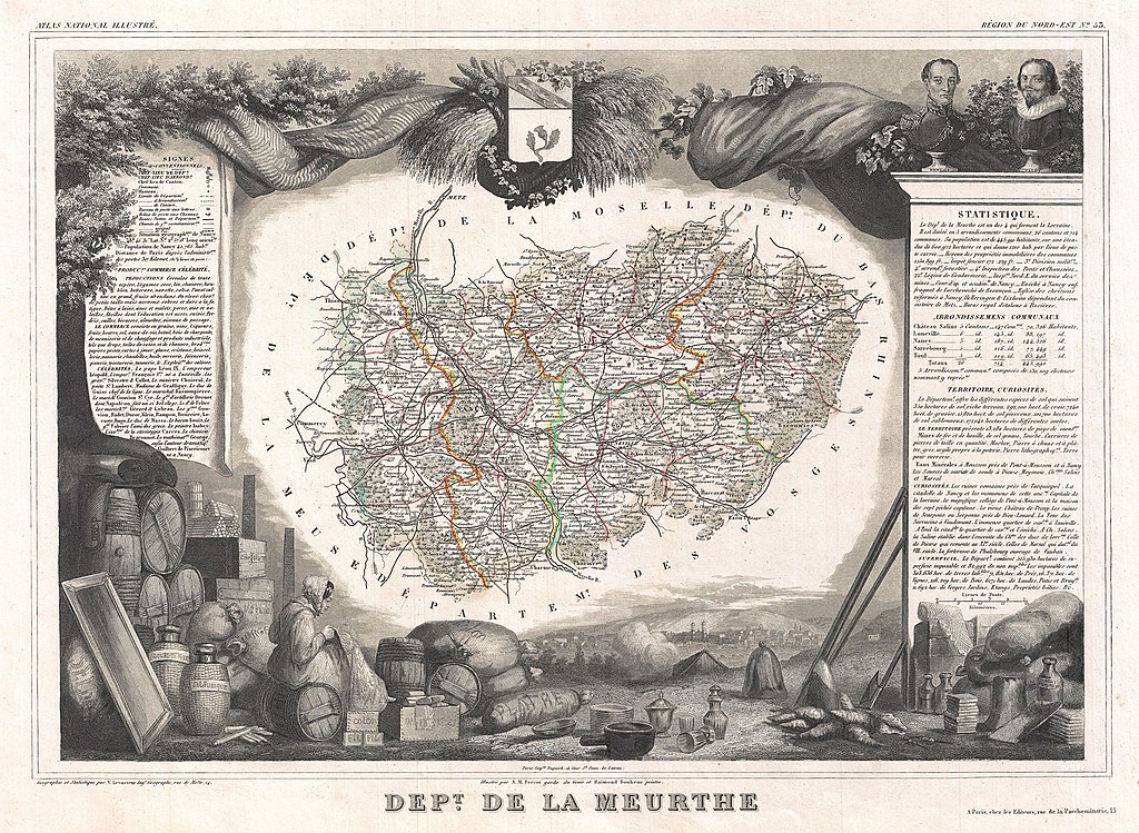
English: This is a fascinating 1852 map of the French department of Meurthe, France. Part of Lorraine and the Alsace-Lorraine wine region. The map proper is surrounded by elaborate decorative engravings designed to illustrate both the natural beauty and trade richness of the land. There is a short textual history of the regions depicted on both the left and right sides of the map. Published by V. Levasseur in the 1852 edition of his Atlas National de la France Illustree. |
|||||||||||||||||||||||||||||||||||
| Date | 1852 (undated) | |||||||||||||||||||||||||||||||||||
| Dimensions | height: 12 in (30.4 cm); width: 17 in (43.1 cm) | |||||||||||||||||||||||||||||||||||
| Accession number |
Geographicus link: Meurthe-levasseur-1852 |
|||||||||||||||||||||||||||||||||||
| Source/Photographer |
Levassuer, V., Atlas National Illustre des 86 Departements et des Possessions de La France Divise par Arrondissements, Cantons et Communea avec La Trace de Toutes Les Routes, Chemins,de fer et Canaux., 1852 edition.
|
|||||||||||||||||||||||||||||||||||
| Permission (Reusing this file) |
|
|||||||||||||||||||||||||||||||||||
File history
Click on a date/time to view the file as it appeared at that time.
| Date/Time | Thumbnail | Dimensions | User | Comment | |
|---|---|---|---|---|---|
| current | 05:18, 24 March 2011 | | 3,500 × 2,561 (3.02 MB) | BotMultichillT | {{subst:User:Multichill/Geographicus |link=http://www.geographicus.com/P/AntiqueMap/Meurthe-levasseur-1852 |product_name=1852 Levasseur Map of the Department De La Meurthe, France |map_title=Dept. de la Meurthe. |description=This is a fascinating 1852 map |
File usage
The following pages on the English Wikipedia use this file (pages on other projects are not listed):
Global file usage
The following other wikis use this file:
- Usage on de.wiki.x.io
- Usage on fr.wiki.x.io
- Usage on lb.wiki.x.io