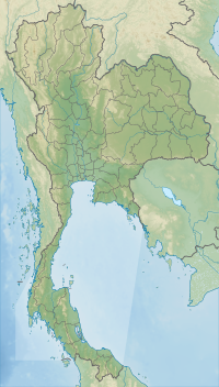
Doi Mae Tho (Thai: ดอยแม่โถ), also known as Doi Langka Luang (ดอยลังกาหลวง) or Doi Lang Ka (ดอยลังกา),[2] is a mountain in Thailand, part of the Khun Tan Range.
| Doi Mae Tho | |
|---|---|
| ดอยแม่โถ | |
| Highest point | |
| Elevation | 2,031 m (6,663 ft) |
| Prominence | 1,350 m (4,430 ft)[1] |
| Listing | Ribu List of mountains in Thailand |
| Coordinates | 19°00′06″N 99°24′20″E / 19.00167°N 99.40556°E |
| Geography | |
| Location | Chiang Rai Province |
| Parent range | Khun Tan Range |
| Climbing | |
| First ascent | unknown |
The mountain rises southwest of Wiang Pa Pao District, Chiang Rai Province, near the point where the province meets with Chiang Mai and Lampang Provinces. With a height of 2,031 metres, it is the highest point of the Khun Tan Range.[3]
Its summit is less than eight kilometres southeast of Route 118 between Chiang Mai and Chiang Rai.
See also
editReferences
edit- ^ "World Ribus – Southeast Asia". World Ribus. Retrieved 2024-12-22.
- ^ Khun Chae National Park Archived 2010-09-22 at the Wayback Machine
- ^ Heritage - Northern Thailand Archived January 28, 2012, at the Wayback Machine
